Select event
-
-
3D Printing Days
-
4INSULATION
-
AGROTECH
-
AGROTRAVEL & ACTIVE LIFE
-
ALUMINIUM & NONFERMET
-
APAE
-
AUTOSTRADA-MASZBUD
-
AUTOSTRADA-POLSKA
-
AUTOSTRADA-ROTRA
-
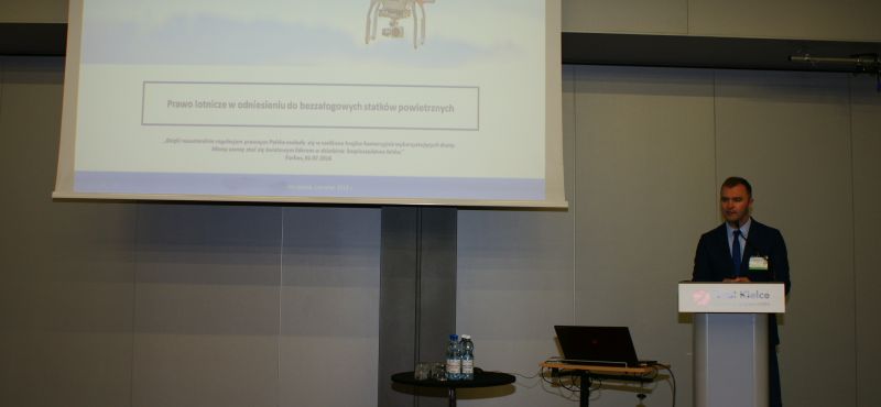
AVIATION EXPO
-
CONTROL-STOM
-
CONTROL-TECH
-
CRAFTS
-
DIGITAL STAGE EUROPE
-
DMIUT
-
DOG EXHIBITION
-
DOM
-
DUB IT!
-
Eastern Poland Today and Tomorrow
-
ECO-STYLE
-
EDUCATION EXPO & The Future of Education Congress
-
EKOTECH
-
EMPLOYMENT FAIR
-
ENEX / ENEX New Energy
-
EURO-LIFT
-
EUROPARKING
-
EXPO-GAS
-
EXPO-SURFACE
-
FLUID POWER
-
GREEN CITY EXPO
-
HEAT TREATMENT
-
HOL-EXPO
-
IDEa
-
INTERIOR MADE IN CHINA
-
KIDS' TIME
-
KIELCE BIKE-EXPO
-
KIELCE IFRE-EXPO
-
KIELCE WORK SAFETY-EXPO
-
LAS-EXPO
-
LOGISTYKA
-
METAL
-
MOTO-TECH
-
MSPO
-
National Pigeon Exhibition
-
NECROEXPO
-
OGRÓD i TY
-
PLASTPOL
-
RECYKLING
-
SACROEXPO
-
SAFE WATER
-
STOM-BLECH & CUTTING
-
STOM-LASER
-
STOM-ROBOTICS
-
STOM-TOOL
-
TEiA
-
TRA 2016
-
TRAFFIC-EXPO - TIL
-
TRANSEXPO
-
WELDING
-
WIRTOPROCESY
-